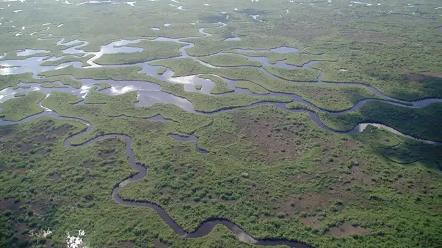
Everglades National Park Florida, USA Travel Guide
The official National Park Service app includes offline park maps and current conditions.
For detailed maps of trails and user reviews.
For identifying wildlife.
For up-to-date weather forecasts, useful during the season for hurricanes.
Download offline maps for navigation due to spotty cell service.
Nps.gov/ever - The most authoritative source for park information.
Recreation.gov - For booking campgrounds inside park limits.
Flamingoeverglades.com - For booking Flamingo Lodge and tours.
Sharkvalleytramtours.com - Information and booking for the trolley.
Visitflorida.com - Official state tourism website.
The National Geographic Trails Illustrated Map for Everglades National Park is durable and detailed.
"The Everglades: River of Grass" by Marjory Stoneman Douglas is a foundational book on the park's ecology.
Free local tourism brochures or magazines exist in Homestead/Florida City.
Your main entrance point for navigation and current conditions.
Access point for tram tours and cycling on the 15-mile loop.
Gateway to boat tours, paddling, and remote camping.
During the season for hurricanes (June 1 - November 30), monitor local weather reports and park announcements closely.
Book well in advance, especially for dry season visits.
Reserve via Recreation.gov for your stay.
Requires a permit for wilderness sites.
Many budget-friendly hotels and motels.
A short drive south, offering more alternatives.
A broader selection, approximately one hour's drive to the main entrance.
A hired car is essential for park navigation and accessing different sections.
Rentals exist at Shark Valley and Flamingo. Trails are largely level and easy.
Watercraft are available for rent at Flamingo. Explore the coast waters and mangroves.
The official NPS website Everglades page contains the most current information for scheduling your park adventure.