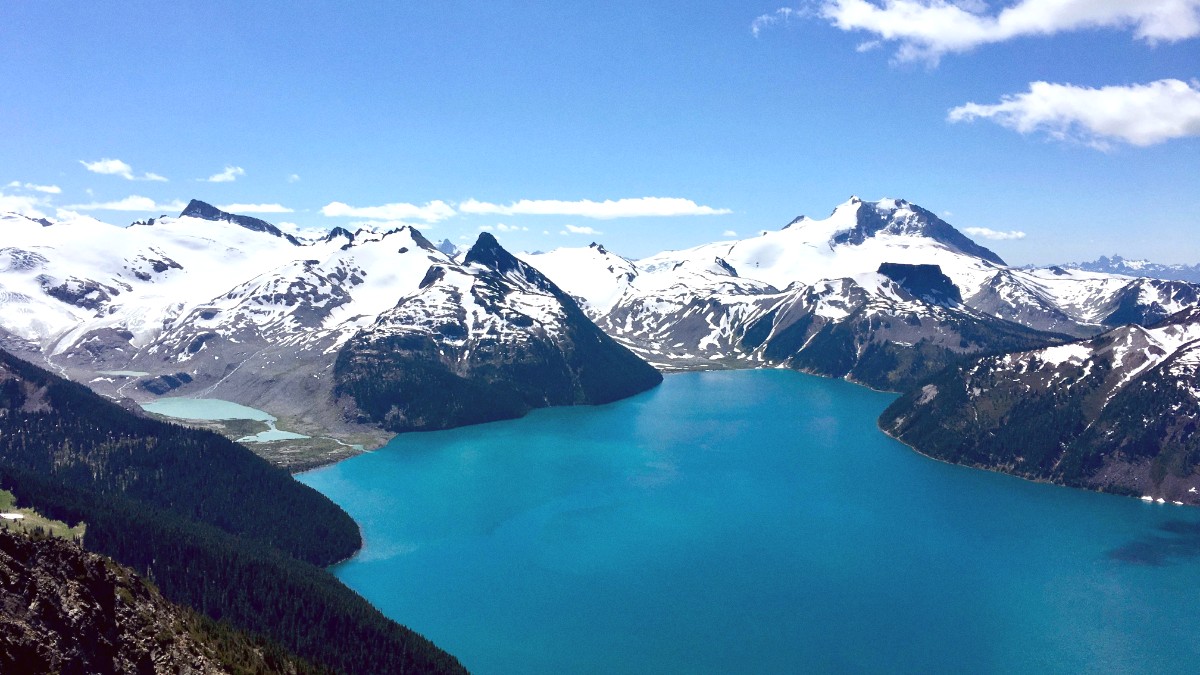
British Columbia, Canada
For real-time lift and trail status, weather updates, and interactive maps of the mountain.
These apps are valuable for hiking and mountain biking trail navigation, providing detailed maps and route information.
Apply this for general navigation, public transit routes, and finding local businesses.
Rely on these for accurate local weather forecasts to plan your daily activities.
While not needed for Whistler, these apps make learning basic French phrases for general Canadian travel possible.
Whistler.com. This is the official destination website. It includes comprehensive information on accommodations, activities, and events.
Whistlerblackcomb.com. The official resort website. It includes information on lift tickets, mountain conditions, and operating hours.
Drivebc.ca. Check this site for real-time road conditions, webcams, and travel advisories on British Columbia highways, notably for the Sea-to-Sky Highway.
Bctransit.com/whistler. Find local bus schedules and maps here.
Consider a VPN for secure online browsing on public Wi-Fi networks.
Whistler Blackcomb Trail Maps are free at the resort. The Whistler Valley Trail Map is free and at the Visitor Centre. Both are critical for navigation.
These can enrich your grasp of the region. The Squamish Lil'wat Cultural Centre often recommends titles.
Pique Newsmagazine and The Whistler Question are available free in town. They offer current events, local news, and activity listings.
Stay within resort boundaries for avalanche safety. Check Avalanche Canada for current advisories. During summer, monitor local news and official sources like BC Wildfire Service for air quality warnings or evacuation alerts.
Discover a collection of art, including First Nations masks and contemporary Canadian works.
Check local listings for concerts, festivals, or cultural events during your stay.
Always consult official sources for the most current information regarding safety, weather, and local conditions.
