Texas, USA
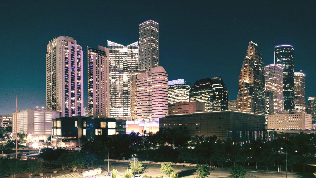
Houston's light rail system, METRORail, consists of three lines. The Red Line is the most useful for visitors, connecting Downtown, Midtown, the Museum District, and the Texas Medical Center. The Purple Line & Green Line mainly serve the East End and EaDo (East Downtown) areas. Houston has an extensive network of bus routes that cover most of the city and surrounding areas, providing coverage beyond the rail lines. While buses offer broad coverage, travel times can be longer due to city traffic.
METRORail operates from early morning (around 4 AM) until late night or early morning (around 1 AM on weekdays, often later on weekends). Frequency varies by time of day; trains typically run every 6-12 minutes during peak hours. Bus hours and frequency vary widely depending on the specific route. METRO is generally committed to accessibility. All METRORail vehicles are wheelchair accessible, featuring level boarding platforms. Most METRO buses are also wheelchair accessible, equipped with ramps or lifts.
Utilize the trip planner tool on RideMETRO.org or the app for step-by-step directions and estimated travel times.
For destinations along the Red Line (Museum District, Medical Center, Downtown), METRORail is an efficient and often quicker option.
For destinations not directly on rail lines, consider combining METRORail with a short ride-share for convenience.
Yellow or white, "Taxi" signs, company names clearly marked.
More common to call, use app, or find at hotel/airport stands.
Metered fares (~$2.75 start, ~$2.20/mile). Most accept major credit cards.
Uber and Lyft are widely used and often more affordable.
Rental cars provide significant flexibility for exploring Houston's sprawling areas. Bicycle sharing programs and rentals offer convenient options for more localized exploration.
Downtown Houston is surprisingly walkable within its core. The Museum District is also very walkable. Hermann Park and Buffalo Bayou Park offer extensive walking paths.
Houston has expanded its network of dedicated bike lanes and multi-use trails, notably through the Bayou Greenways initiative (over 150 miles).
Cyclists should remain vigilant. Always wear a Helmet, use lights, and follow traffic laws. Avoid poorly lit or unfamiliar areas, especially at night.
Houston offers a few specialized transportation options that enhance the visitor experience, often designed for sightseeing or specific recreational purposes.
Highly walkable areas with many attractions close by. Explore the Downtown Tunnel System for climate-controlled pathways.
Excellent for strolls.
Offer extensive walking and cycling paths, providing recreational oases within the urban landscape.
Nature in the city.
Over 150 miles of interconnected trails for safe and scenic routes for cyclists and pedestrians.
Extensive trail network.
Houston intends to accommodate travelers with mobility challenges across its transportation networks and attractions.
Stay alert, especially in new environments. Avoid distractions like constantly looking at your phone.
When cycling, always wear a helmet. Use front and rear lights, especially during dawn, dusk, or night rides.
Certain industrial zones or areas near major highways may lack pedestrian facilities and are not suitable for walking or cycling.
While a car is often the most common way to get around Houston, combining public transit (especially the METRORail) with ride-sharing or walking in specific districts offers efficient and varied ways to experience the city.
Always check real-time traffic updates and public transit schedules to plan your journeys effectively.
