Southwest, USA
For trail maps, navigation, and offline map downloads.
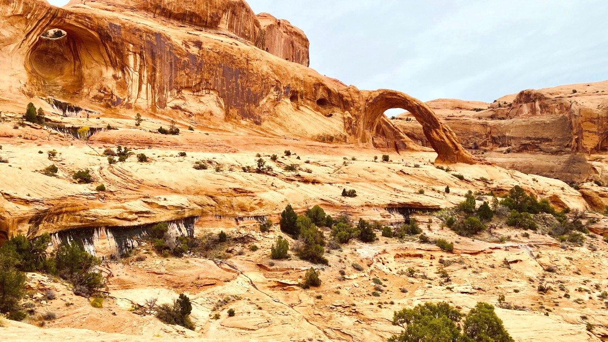
Download specific content for Arches and Canyonlands National Parks.
A local weather app (NOAA, AccuWeather) for forecasts, important for flash flood warnings.
General navigation; download offline maps for unreliable cell service areas.
Platform for booking timed entry to Arches and national park campsites.
Arches & Canyonlands official sites for park information.
Dead Horse Point State Park for regional state park details.
Official local tourism site for accommodations, activities, dining.
Moab Field Office site for dispersed camping rules and areas.
Official park accounts or local tourism pages for updates and alerts.
Trails Illustrated Maps (National Geographic) are highly detailed topographical maps for Arches and Canyonlands. Image: National Geographic Trails Illustrated Map
Specific guidebooks for mountain biking, hiking, or off-roading in Moab are available at local gear shops.
The Moab Times-Independent provides current events. Free tourist guides contain maps and listings.
Visit National Park Visitor Centers for park-specific information and ranger programs.
Withdraw cash from ATMs; purchase groceries and water for self-catering or camping needs.
Refer to Section 4.1 for detailed airport transfer options to your accommodation.
Always prioritize personal safety in the wilderness. Moab's beauty comes with natural challenges that require awareness.
Study the Entrada Sandstone and Navajo Sandstone layers.
Grasp how wind, water, and ice sculpt the landscape.
Investigate the uplift and faulting that shaped the region.
Identify species like Yucca, Prickly Pear, and other native flora.
Recognize common desert animals and their habitats.
Learn about venomous creatures and safety measures.
Explore Moab's past as an uranium mining hub and its boom-and-bust cycles.
Identify famous movies and TV shows shot against Moab's iconic backdrop.
Local field institutes and visitor centers often provide educational programs to enrich your visit.
