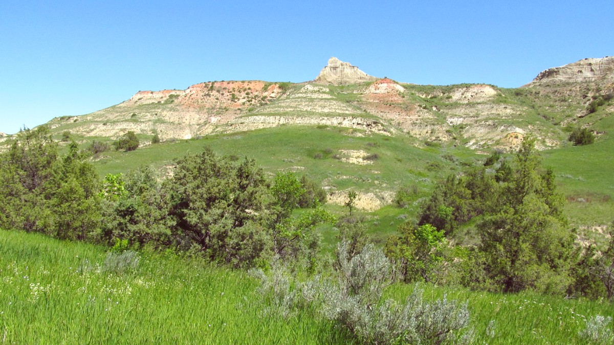
North Dakota, USA
Download the official National Park Service app. It provides detailed maps, self-guided tours, and important information about Theodore Roosevelt National Park. Content can be downloaded for offline use.
Useful for detailed trail maps, elevation profiles, and user reviews of hiking trails. Download maps for offline use before entering areas with no service.
Download offline maps of the park and surrounding areas (Medora, Dickinson, Watford City) to ensure navigation capability even without an internet connection.
For accurate and up-to-date weather forecasts specific to the region. This assists planning outdoor activities due to North Dakota's variable weather.
A dedicated GPS device for backcountry navigation can be a beneficial addition to your gear.
This is the official park website, a main resource for current conditions, alerts, road closures, visitor center hours, and detailed park information.
The official tourism site for Medora, providing comprehensive information on lodging, dining, entertainment (like the Medora Musical), and local events.
Offers general state tourism information, ideas for other attractions, and travel guides for North Dakota.
Use this website for booking National Park Service campgrounds, including Cottonwood and Juniper Campgrounds within Theodore Roosevelt National Park.
Seek out independent travel blogs for personal experiences and diverse perspectives to complement official information.
Free maps of Theodore Roosevelt National Park are available at visitor centers. They provide a good overview of the units, roads, and major trails. National Geographic Trails Illustrated Map offers durable, waterproof details for hikers.
A comprehensive guide to all U.S. National Parks can be a beneficial resource if you are visiting multiple parks on your trip. Look for reputable publishers like National Geographic or Lonely Planet.
Read biographies of Theodore Roosevelt (e.g., "The Rise of Theodore Roosevelt" by Edmund Morris) to grasp his time in the Badlands. Local newspapers in Dickinson or Watford City offer community news. Medora often has a seasonal visitor guide.
North Dakota is vast. Plan your driving times realistically. Distances between towns and park units can be greater than expected. Utilize offline maps.
Road conditions can change rapidly due to weather (snow, mud, ice) or wildlife. Always check the official NPS website (www.nps.gov/thro) for current alerts and closures before heading out.
Check local restaurants in Medora for any seasonal specials or happy hour deals, especially during the shoulder seasons. These can lead to savings on food and beverages.
Maintain safe distances from all animals. Never feed or provoke them. Park regulations strictly enforce this.
Download this app for comprehensive maps, self-guided tours, and critical updates about Theodore Roosevelt National Park. Offline content is available.
Access detailed trail maps, elevation profiles, and user reviews. Download maps for offline use before venturing into areas with no cell service.
Ensure you download offline maps of the park and surrounding towns like Medora, Dickinson, and Watford City for consistent navigation.
Utilize this for accurate and up-to-date weather forecasts, important for planning outdoor activities in North Dakota's variable climate.
For deep backcountry trips, consider apps that link to personal locator beacons for added safety in remote areas.
A VPN service like NordVPN can help secure your internet connection when using public Wi-Fi on your travels.
Follow the official Facebook and Instagram accounts for Theodore Roosevelt National Park for real-time updates, beautiful photos, and announcements.
Follow the official Facebook and Instagram accounts for Medora for local event schedules, promotions, and insights into the town's offerings.
Explore relevant subreddits like r/NationalParks or r/NorthDakota for traveler discussions, tips, and photos. Join travel forums like TripAdvisor for insights.
Cell coverage is spotty to non-existent in many areas of the park and surrounding rural lands. Download offline maps and information before you lose signal.
