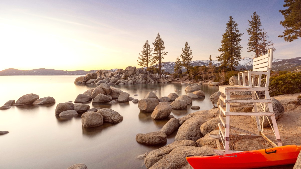
Nevada, USA
Choose the airport that best fits your travel plans. Reno-Tahoe International Airport (RNO) is the closest, about a 1-hour drive to North Lake Tahoe and 1.5 hours to South Lake Tahoe. Many visitors prefer RNO due to its proximity. Sacramento International Airport (SMF) is about 2 hours away, offering more direct flights, especially from other parts of the U.S.
Major U.S. Carriers like Southwest, United, Delta, American, Alaska, and JetBlue serve RNO, SMF, SFO, and OAK. Direct flights connect RNO with major U.S. Cities. International travelers will likely connect through SFO or OAK. Flight prices fluctuate by season; book several months in advance for peak seasons (summer, winter holidays). Airport facilities are standard, with dining, retail, Wi-Fi, and car rental agencies.
Find competitive airfares with resources like Dollar Flight Club.
Compare flight options and prices across various airlines using Skyscanner.
Find great rates on rental cars for your Tahoe trip at DiscoverCars.com.
No specific "exit fees" or taxes for departing the United States for tourists, beyond standard airline ticket taxes already included in your fare.
Arrive at the airport at least 2 hours before domestic flights and 3 hours before international flights. Allow time for check-in, security, and baggage drop-off. Be prepared for TSA security checks.
Factor in potential delays due to weather (snowstorms) or traffic in winter. Check road conditions well in advance to avoid last-minute issues.
Amtrak presents train service to nearby towns. The California Zephyr route stops at Truckee, CA (near North Lake Tahoe) and Reno, NV. From the San Francisco Bay Area, connect via Amtrak Thruway bus to Emeryville, then take the train to Truckee/Reno. From Sacramento, direct train service to Truckee/Reno. From Truckee/Reno, use local bus, taxi, or ride-share services to reach specific Lake Tahoe destinations.
Driving is the most popular option for reaching and exploring Lake Tahoe due to its vast area and limited public transit coverage. Major access routes include I-80 East to Truckee (for North Lake Tahoe) or US-50 East (for South Lake Tahoe) from Northern California. From Reno, use US-395 South to NV-431 (Mt. Rose Hwy) or US-50 West. A valid driver's license is a requirement (and IDP if applicable). Rental car companies typically have a minimum age of 21-25. A vehicle with 4-wheel drive (4WD) or all-wheel drive (AWD) is good for winter travel.
No international borders are involved. Lake Tahoe is located within the United States (California and Nevada). No international border crossings are part of this journey.
For train departures, Amtrak's California Zephyr route departs from Truckee, CA, and Reno, NV. For bus departures, Greyhound and FlixBus services connect from Reno or Truckee to major cities. From these points, local transit or taxis are needed to reach the Lake Tahoe area for your onward journey.
Lake Tahoe has two main public transit systems: Tahoe Area Regional Transit (TART) for North Lake Tahoe/Truckee, and Lake Tahoe Transit for South Lake Tahoe. Some routes are seasonal (e.g., ski shuttles in winter, beach shuttles in summer). Hours may be reduced during shoulder seasons. Buses are generally wheelchair accessible.
Taxis are available, especially in South Lake Tahoe near casinos and major hotels, and around Reno-Tahoe International Airport. You can hail them, call for pick-up, or find them at designated stands. Uber and Lyft are widely available throughout Lake Tahoe, specifically in South Lake Tahoe, Tahoe City, and Truckee. Driver availability can vary by time of day and location.
Most popular option for flexibility. Major companies are at RNO. Book in advance, especially for 4WD/AWD in winter.
Town centers (South Lake Tahoe, Tahoe City) and lakeside paths (Pope Baldwin Bike Path) are pedestrian-friendly.
Extensive bike trails like Tahoe East Shore Trail. Rentals available. Always wear a Helmet.
Major car rental companies like Hertz, Avis, Budget, Enterprise, National, and Alamo operate at RNO, with some satellite offices in Lake Tahoe towns. A valid driver's license (and IDP if applicable) and a credit card are a requirement. Minimum age is typically 21, with potential young driver fees. Book in advance, specifically a 4WD/AWD vehicle for winter.
Bicycle rentals are widely available in summer from numerous shops in Tahoe City, South Lake Tahoe, Kings Beach, and Truckee. Options include mountain bikes, road bikes, and e-bikes. Hourly, half-day, and full-day rates are offered. Bike share programs are less common. Lake Tahoe boasts many miles of paved multi-use bike paths, including the Tahoe East Shore Trail. Hundreds of miles of singletrack and fire roads exist for mountain biking (e.g., Flume Trail).
Parking can be challenging and metered in popular areas like Heavenly Village, Tahoe City, and Sand Harbor.
Often have paid parking lots ($10-15 day use fee). Lots fill up quickly in summer, so arrive early.
Paid parking lots are common, specifically for ski resorts. Many offer shuttle services. Most hotels offer guest parking, sometimes for a fee.
Driving offers the most direct access and flexibility within the Lake Tahoe region. Public buses present an affordable way to get around specific areas. Taxis and ride-share services offer convenient door-to-door transport.