Minnesota, USA
Each trip into the BWCAW is a self-guided expedition. You choose your entry point, your route, and your campsites. This freedom brings immense satisfaction but also responsibility for your own safety, food, shelter, and waste management. This level of engagement fosters deep reverence for the environment and a profound sense of accomplishment. Many visitors describe their time here as a chance to disconnect from daily life and reconnect with nature.
Pack Binoculars for wildlife viewing.
A Waterproof camera captures moments without worry.
The Boundary Waters Canoe Area Wilderness stretches across over one million acres within the Superior National Forest in northeastern Minnesota. This vast area shares its northern border with Canada’s Quetico Provincial Park, creating an even larger international wilderness expanse. This geographic connection means some routes can cross the international border, needing additional permits and planning.
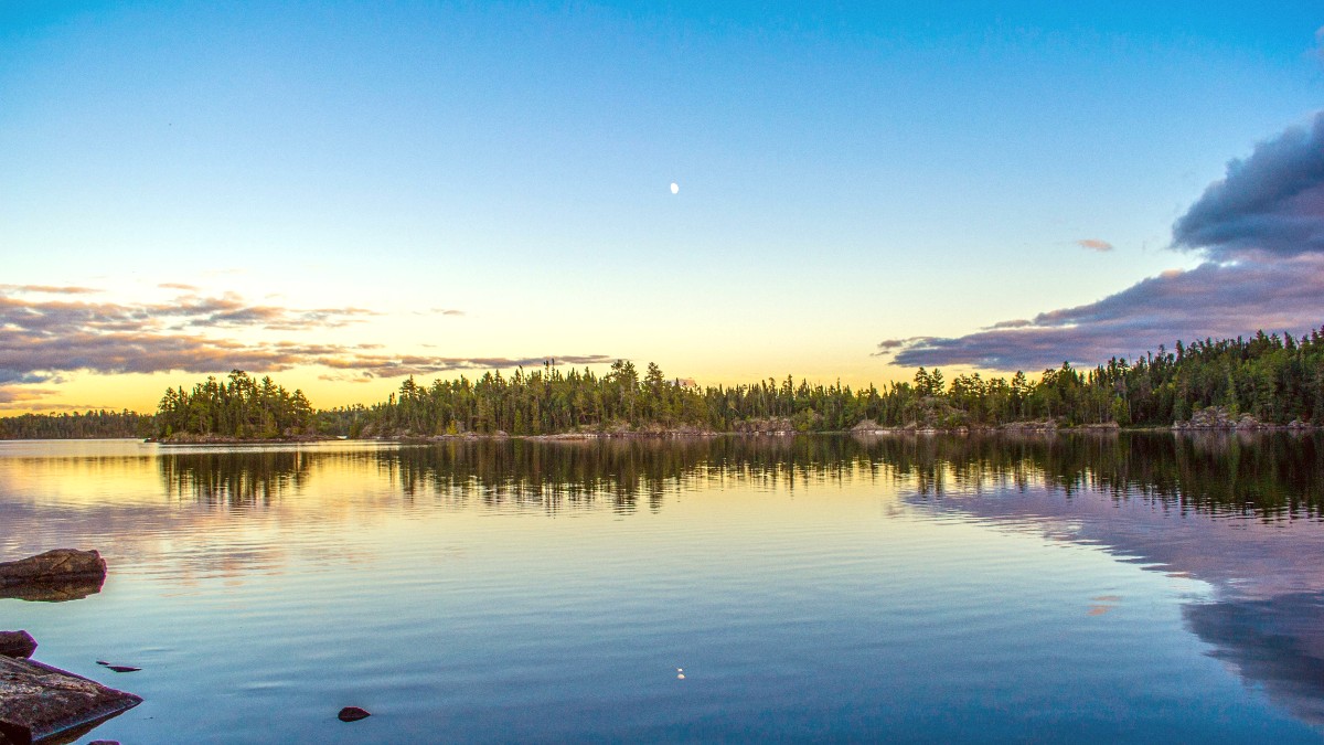
The landscape results from ancient geological forces and more recent glacial activity. Over 10,000 years ago, massive glaciers sculpted the bedrock, carving out the thousands of lake basins and shaping the rolling hills. As the glaciers receded, they left behind thin layers of soil and exposed large areas of Precambrian Shield bedrock, some of the oldest rock formations on Earth. This geology explains the rocky shorelines, numerous islands, and the distinct pattern of water and land.
Mixed boreal forest, a transition zone.
Majestic red pines, white pines, and jack pines.
Birches and aspens. Contrasts in autumn.
Thin soils and exposed rock; trees grow from bedrock.
Elevations from 1,200 to 2,100 feet above sea level.
The intricate network of lakes and rivers acts as a natural navigation system. While it holds countless route possibilities, it also warrants careful attention to maps and compasses. Without distinct landmarks like mountain peaks, the subtle changes in shoreline, island shapes, and portage locations become your guides. This intimate interaction with the map fosters a deep appreciation of the geography.
Invest in Waterproof maps. They endure unexpected rain or splashes, keeping your path clear.
The changing seasons reveal distinct experiences. Summer warms waters for swimming and brings longer daylight. Winter offers an unique, challenging experience for those prepared for cold and snow.
An authentic wilderness experience awaits visitors in the Boundary Waters Canoe Area Wilderness.
The history of the Boundary Waters extends back thousands of years, long before its formal protection. The land itself was shaped by colossal glaciers. Their slow, powerful movement scraped away immense amounts of earth, carved out valleys, and deposited debris, leaving behind the distinctive mosaic of lakes and rocky ridges seen today. This geological foundation formed the stage for human interaction.
The interconnected waterways served as their highways, allowing efficient movement through vast forests for hunting, fishing, gathering, and trade. Evidence of their long presence remains in pictographs, ancient rock paintings found on cliff faces. Visitors observe these pictographs respectfully from the water, appreciating their historical and cultural significance.
Concerns about preserving its unique character led to early conservation efforts in the 20th century.
The area received designation as a wilderness area, protecting wild places from human encroachment.
Stronger protection, banning commercial logging and limiting motorboat/snowmobile use.
In the 17th and 18th centuries, European fur traders, known as "voyageurs," arrived. The legacy of the fur trade is woven into the fabric of the region, from the names of lakes and rivers to the traditions of wilderness travel.
A trip here typically features canoe paddling, the main way to move across the vast water network.
Portaging, carrying your canoe and gear over land between lakes, tests stamina and organizational skills.
This dual mode of travel defines the BWCAW experience, making it distinct from traditional hiking or car camping.
Packing appropriate gear for varying weather conditions and planning your food are useful steps.
Knowing how to navigate the intricate waterways and trails forms a significant aspect of trip readiness.
