Iowa, USA
A defining characteristic of these hills is their unique "cat-step" topography. This terraced appearance stems from the way loess soil behaves. When exposed, vertical faces of loess erode in a specific pattern. The fine particles have a tendency to stand vertically, but when water infiltrates, small sections can slough off, creating small, flat benches or "steps" down the hillside. This process gives the slopes a corrugated or stepped look, resembling giant cat steps, rarely seen on such a scale elsewhere. This particular erosion pattern is a direct consequence of the unique composition of the loess itself – its fine, uniform grain size and its ability to hold a vertical face, unlike other soil types.
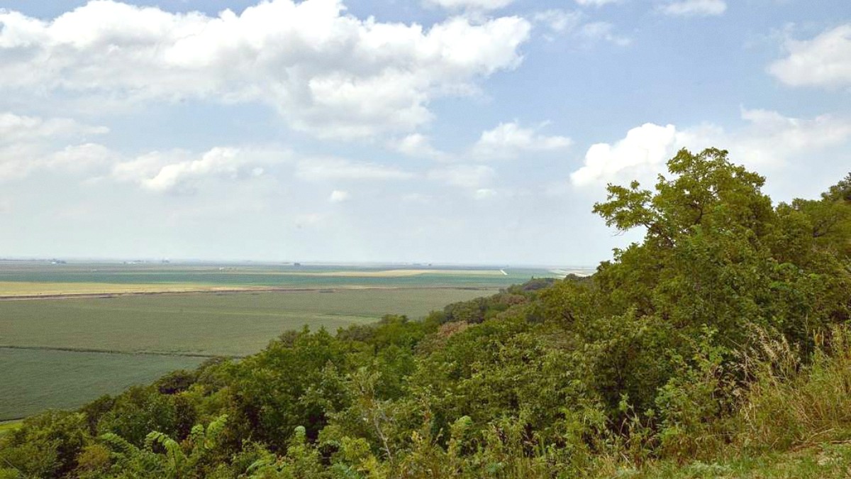
The deepness of these deposits allows for unique plant communities and hydrological patterns, contributing to the region's distinct biodiversity. The hills act as a natural barrier, shaping weather patterns and creating microclimates that support flora and fauna not commonly found elsewhere in the Midwest.
Geologists recognize the Loess Hills as one of the largest and most intact loess formations on Earth. Only a similar formation in China approaches its scale and depth. This global significance means the Loess Hills represent a world-class natural phenomenon. The region stretches approximately 200 miles from north to south.
The story of the Loess Hills extends far beyond their geological formation. Their history weaves with the narrative of human activity in North America. The formation of the Loess Hills began approximately 10,000 to 24,000 years ago, during the last glacial period. Massive ice sheets covered much of the continent, and as they melted, colossal volumes of water flowed down the Missouri River. This water carried fine silt, ground up by the glaciers, from distant mountains. When river levels dropped, this silt dried, and strong prevailing winds swept it eastward, depositing it layer upon layer to form the deep, fertile soil that defines the hills. This geological process created not just landforms but also an incredibly rich and unique soil type, capable of supporting specific plant life.
For centuries, this region served as home to various Native American tribes, including the Omaha, Oto, and Winnebago. They recognized the unique value of the Loess Hills. The diverse ecosystems within the hills offered abundant resources: game in the woodlands and prairies, edible plants, and sheltered valleys. The high bluffs offered strategic viewpoints over the Missouri River valley, important for hunting and defense. Archaeological evidence suggests a long history of human occupation and interaction with this distinctive landscape, with tribal groups living in harmony with the environment for generations, utilizing its bounty sustainably. Their knowledge of the land, its plants, and its wildlife was profound.
The Missouri River became a major transportation artery for exploration and trade, supporting westward expansion.
Council Bluffs served as a starting point for the Mormon Trail, Oregon Trail, and California Trail.
Pioneers encountered rugged terrain in the Loess Hills, a preview of challenges ahead.
Unique topography preserved rare native prairie and oak savanna ecosystems, unsuitable for traditional farming.
Conservation groups and agencies work to manage lands, protect endangered species, and educate the public.
Beyond human settlement and migration, the unique topography and often isolated nature of some Loess Hills areas fostered the preservation of significant portions of rare native prairie and oak savanna ecosystems. These ecosystems once covered vast areas of the American Midwest but have largely disappeared due to agricultural development. The steep, dry, and often inaccessible slopes of the Loess Hills made them unsuitable for traditional farming, inadvertently protecting these fragile biological communities.
The Loess Hills today harbor a wealth of biodiversity, including plants and animals found almost nowhere else. Recognizing this ecological value, concerted efforts to preserve these unique ecosystems and geological features began in earnest in the late 20th century.
Conservation groups, state agencies, and local communities work together to manage these lands, protect endangered species, and educate the public about their importance. The ongoing preservation work ensures this distinctive landscape runs on for future generations.
Walk the trails to feel the weight of history and appreciate the enduring natural beauty.
This overview offers a quick guide to what makes this region special and what to expect during your travels.
The Loess Hills offer more than just beautiful scenery; they present an educational journey into geology, ecology, and American history. The unique physical characteristics of the land directly shape the types of activities available and the experiences you will have. From the deep silence of a prairie preserve to the commanding views from a blufftop, the region promotes quiet contemplation and active outdoor pursuit. Plan your visit to immerse yourself in this remarkable environment.
Western Iowa, USA, bordering the Missouri River. Prominent sections exist within Iowa.
Largest and deepest loess (wind-deposited silt) formations globally with "cat-step" topography.
Mosaic of rare prairie, oak savanna, and woodland environments.
The Loess Hills National Scenic Byway is a recognized route showing the region's beauty. Various state parks, preserves, and wildlife management areas protect its unique resources and offer public access.
