Great Lakes, USA
The Upper Peninsula sets itself apart with its untouched natural splendor. Lake Superior's vastness defines the northern shore, while Lake Michigan and Lake Huron shape its southern boundaries. These Great Lakes influence the region's climate and activities, providing freshwater beaches, fishing opportunities, and stunning vistas. Inland, countless lakes and rivers crisscross the landscape, making it a haven for water sports and quiet contemplation. Forests cover most of the land, providing a habitat for wildlife and extensive trails for exploration. This blend of water and woodland creates a diverse environment, offering something for every traveler.
The Upper Peninsula of Michigan is a distinct geographic area, shaped by its position within the Great Lakes region. It borders Lake Superior to its north, a vast inland sea known for its cold, clear waters and dramatic cliffs. To the south, Lake Michigan and Lake Huron present extensive coastlines, offering different ecological zones and recreational opportunities. The western boundary meets Wisconsin, creating a shared border with a similar forested landscape. On its eastern side, the St. Marys River and the city of Sault Ste. Marie separate the UP from Ontario, Canada, forming an international border.
A defining feature of the Upper Peninsula is the Mackinac Bridge, a true marvel of engineering. This long suspension bridge connects the UP to Michigan's Lower Peninsula, facilitating traveler access from the south. The bridge itself is a landmark, presenting panoramic views of the Straits of Mackinac where Lake Michigan and Lake Huron meet. Its presence makes the UP accessible by road, solidifying its connection to the rest of Michigan while maintaining its unique character.
The Upper Peninsula's history intertwines with its abundant natural resources. They lived in harmony with the environment, relying on hunting, fishing, and gathering. Their cultural heritage remains present across the region, with place names, traditions, and historical sites reflecting their long presence. European exploration began in the 17th century when French fur traders and missionaries ventured into the region. They established trading posts and missions, seeking furs and spreading their influence. These early interactions set the stage for future European settlement and trade routes.
The 19th century brought a massive boom in mining, transforming the Upper Peninsula. Discovery of vast copper and iron ore deposits led to rapid industrial development. This era attracted diverse immigrant populations from Europe seeking work and new lives. Finnish, Cornish, and Italian communities, among others, settled in the mining towns, bringing their unique customs, languages, and foods. These immigrant groups greatly shaped the region's distinctive culture, creating a hardy, self-reliant "Yooper" identity that bides today. Their contributions are visible in architecture, cuisine, and local traditions.
A system of canals and locks that revolutionized shipping, enabling large freighters to bypass St. Marys River rapids.
Vast copper and iron ore deposits fueled industrial growth and attracted global immigration.
Extensive forests were harvested to meet national timber demand, later followed by reforestation efforts.
Immigrant communities and natural challenges shaped a resilient, community-focused culture.
The surrounding lakes shaped climate, activities, and economic pathways throughout history.
Covering approximately 16,375 square miles (42,410 km²), the Upper Peninsula stands larger than nine individual U.S. States. This expansive area means significant distances between towns and attractions, making travel by car the most practical way to explore. The region's geography includes vast stretches of wilderness, characterized by extensive forests that dominate the landscape. These forests support a thriving timber industry and serve as home to a wide array of wildlife.
Numerous inland lakes and rivers dot the terrain, presenting ample opportunities for fishing, paddling, and wildlife observation. The land is not flat; it features rolling hills, ancient mountain ranges like the Porcupine Mountains, and deep river valleys carved by millennia of water flow.
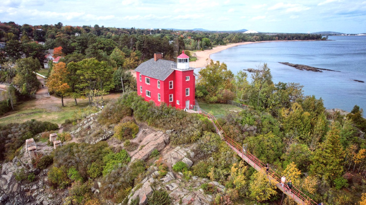
The extensive coastline along the Great Lakes defines much of the experience, with diverse shores ranging from sandy beaches to rocky outcrops and towering sandstone cliffs. This varied topography presents diverse activities, from relaxing by the water to challenging hikes through rugged terrain.
Remember that cell service can be spotty in remote parts of the Upper Peninsula. Download offline maps and keep a physical map handy.
This region, known as "the U.P." or "the UP" by locals, occupies a distinct place in Michigan. It is not just a geographical area; it is a cultural entity with its own traditions and way of life.
Around 300,000 people call the Upper Peninsula home, according to U.S. Census Bureau estimates from 2023. This relatively small population spread across a large area means that the UP feels sparsely populated, offering a sense of openness and wilderness. Towns are generally small, and vast natural spaces separate them.
Explore Pictured Rocks, Tahquamenon Falls, and Porcupine Mountains for breathtaking vistas.
Sault Ste. Marie, Escanaba, and Menominee serve as population centers.
Tourism, logging, and mining form the core of the region's economy.
The Upper Peninsula of Michigan (often called "the U.P." or "the UP") is in northern Michigan, USA, bordered by the vast waters of the Great Lakes and the state of Wisconsin. Its position forms a natural link between the wilderness of Canada and the more populated areas of the American Midwest.
