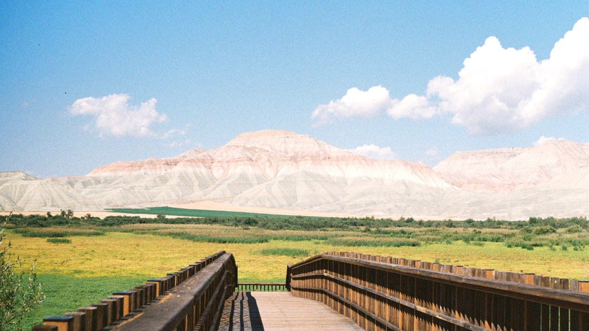
Central Anatolia, Turkey
Ankara's metro system consists of several lines, forming the backbone of urban transport. An extensive network of public buses covers all parts of the city, connecting areas not served by the metro. A smaller cable car line connects Şentepe to Yenimahalle metro station, giving aerial views of the city as commuters travel.
Bus routes are comprehensive and connect to residential neighborhoods and commercial zones.
Newer metro stations and some modern buses are designed with accessibility features like ramps and elevators.
Metro/Ankaray generally operates from around 06:00 AM to midnight (00:00). During peak hours, trains run frequently. Buses operate throughout the day, with reduced service late at night.
Ankarakart: A rechargeable smart card is required for all public transport services, including the metro, Ankaray, buses, and the cable car.
Route maps for the metro and bus systems are available at metro stations and online.
A major transfer point where several metro lines intersect, and numerous bus routes converge. It is the busiest and most central transportation hub.
The historical center, also well-served by buses and a metro station, giving access to historical sites.
The intercity bus terminal, which is the endpoint for the Ankaray light metro line, making connections easy for intercity travelers.
Taxis and ride-sharing apps have convenient alternatives to public transport, especially for direct routes or when carrying luggage.
Kızılay, Tunalı Hilmi, Kavaklıdere: These modern districts have wide sidewalks, shops, cafes, and parks.
Various local tour operators have guided walking tours focusing on Ankara's history, culture, or culinary scene.
Bicycle infrastructure is limited in Ankara. Cycling on major roads can be challenging due to heavy traffic and local driving habits.
Ankara has unique transportation options beyond the standard modes.
Purchase an Ankarakart immediately upon arrival. This gives immediate access to the public transport network.
Use Google Maps or Yandex Maps for real-time public transport directions. These apps give accurate route information and estimated travel times.
Avoid rush hours, typically 07:00-09:00 in the morning and 17:00-19:00 in the evening, if possible. Public transport can become very crowded during these times.
Ankara has pedestrian-friendly areas and walking routes.
Bicycle infrastructure is limited in Ankara compared to many European cities.
Cycling on major roads can be challenging due to heavy traffic and local driving habits.
Ankara does not have a widespread public bicycle sharing program. Some private shops may have bicycle rentals.
Purchase an Ankarakart immediately upon arrival. This card gives immediate access to the public transport network.
Use Google Maps or Yandex Maps for real-time public transport directions. These apps give accurate route information and estimated travel times. Avoid rush hours, typically 07:00-09:00 in the morning and 17:00-19:00 in the evening, if possible. Public transport can become very crowded during these times.