MileHacker Logo
Getting Around Busan

Getting Around Busan

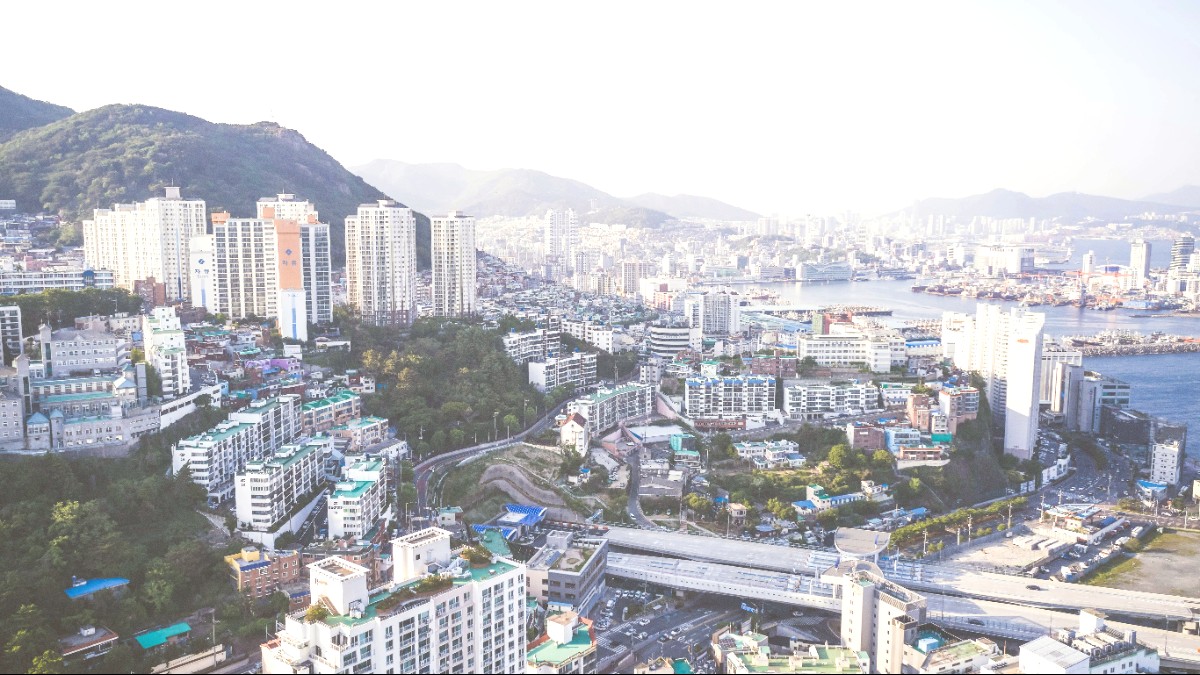
Gyeongsangnam Do, South Korea

Public Transportation Overview

Busan's public transport relies mainly on its extensive metro (subway) system and a wide-ranging bus network.

These systems are well-integrated, with convenient connections across the city.

Metro System Subway

  • Clean, reliable, and often the fastest way to travel.
  • Signage and announcements are available in English.
  • Comprises four main lines, each color-coded.
  • Connects major areas like Seomyeon, Nampo-dong, Haeundae.

Ticketing & Fares

Single-use tickets are available. T-Money card is recommended for discounts and transfers.

Hours of Operation

Metro runs from 05:00 AM to 00:00 AM. Buses run from early morning until late evening.

Accessibility

Most metro stations include elevators and escalators. Newer buses are often low-floor.

Efficiency Tips

Smart Navigation
  • Use KakaoMap or Naver Map for real-time information.
  • Obtain a T-Money card for simplified payments and transfers.
  • Be aware of the gap between the train and the platform.
Peak Travel
  • Metro lines may be crowded during morning (07:00-09:00) and evening (17:00-19:00) rush hours.
  • Bus announcements are mainly in Korean; use navigation apps to track stops.
  • Bus network covers areas not directly served by subway lines.

Public Transportation Overview

Metro

Fast and reliable

Bus

Extensive city coverage

T-Money

Discounts and transfers

Navigation Apps

Essential for routes

Taxis & Ride-Sharing

Taxis offer a convenient alternative to public transport, especially for shorter distances, late-night travel, or when carrying heavy luggage.

Licensed Taxi Identification

  • Standard Taxis: Most common, typically orange, white, or silver.
  • Deluxe Taxis (Mobeom Taxi): Black with a yellow stripe, higher comfort, higher fare.
  • International Taxis: Drivers often speak English, Japanese, or Chinese.
  • Hailing: On street, at designated taxi stands, or via app.

Typical Fares & Payments

  • Standard Taxi Base Fare: ₩4,800 (daytime) for the first 2 km.
  • Night Surcharge: Around 20% applies between 10:00 PM and 04:00 AM.
  • Payment Methods: Cash, credit cards, and T-Money cards are accepted.
  • Confirm payment method availability before starting your ride.

Ride-Sharing Apps & Safety

  • Kakao T is the dominant and most widely used app for booking taxis.
  • Input your destination, see estimated fares, and track your ride.
  • Helps overcome language barriers by sending destination directly to driver.
  • Taxis in Busan are generally safe.
  • Always ensure the meter is running.
  • Kakao T provides extra safety, as your ride is tracked.

Rental Options

Car Rental

Requires IDP and home license. Book in advance.

Motorcycle/Scooter

Less common for tourists; generally not recommended.

Bicycle Rentals

Available at parks and tourist areas.

Walking & Cycling

Busan is a city of diverse landscapes, many of which are best explored on foot or by bike.

Pedestrian-Friendly Areas

  • Nampo-dong and Seomyeon: Wide sidewalks and shopping streets.
  • Gamcheon Culture Village: A maze of alleys and colorful houses.
  • Coastal Paths: Haeundae, Gwangalli, Dongbaek Island, Igidae Coastal Walk.
  • Parks: Yongdusan Park, Taejongdae Park, ecological parks.

Walking Tour Options

  • Guided Walking Tours: Various operators offer themed tours.
  • Self-Guided Tours: Plan routes with KakaoMap or Naver Map.
  • Online resources and guidebooks suggest itineraries.
  • Tours provide local insights and historical context.

Cycling Infrastructure & Safety

Dedicated Paths

Busan has invested in dedicated cycling paths along rivers and coastal areas.

Scenic and safe experiences.

Popular Routes

Nakdong River Estuary area and the Haeundae to Songjeong Beach stretch are popular.

Explore at your own pace.

Safety Notes

Dedicated paths offer safety. City roads with heavy traffic may present challenges.

Wear a helmet; obey traffic laws.

Areas to Note for Pedestrians & Cyclists

Topography Challenges
  • Busan is hilly; some residential areas have very steep paths.
  • Paths not designed for tourism may present difficulties.
  • Gamcheon Culture Village includes many stairs and inclines.
Traffic & Crossings
  • Certain major roads or intersections have intense vehicle traffic.
  • These areas are less pleasant for walking or cycling.
  • Use pedestrian crossings and obey traffic signals.

Driving Cautions for Cyclists

  • Cycling on city roads with heavy traffic is not recommended for inexperienced urban cyclists.
  • Always wear a helmet.
  • Follow local traffic laws diligently.
  • Be mindful of aggressive driving habits in some areas.
  • Some paths are narrow or share space with pedestrians.
  • Use a bell to alert pedestrians when cycling on shared paths.
  • Use lights at night.
  • Avoid wearing headphones that block out ambient sound.

Specialized Transportation

Busan offers unique and enjoyable specialized transport options that also serve as attractions.

Tour Buses

  • Busan City Tour Bus (Buti Bus): A hop-on-hop-off service.
  • Operates several routes (e.g., Haeundae, Taejongdae, Oryukdo).
  • A single ticket is valid for the whole day.
  • Convenient way to see major attractions.

Water Transportation

  • Harbor Cruises: Scenic views of city skyline, bridges, and port.
  • Night cruises are popular for illuminated views.
  • Some boat services connect specific points (e.g., Haeundae to Oryukdo Islands).
  • These are mainly for sightseeing.

Cable Cars

Busan Air Cruise (Songdo Marine Cable Car) offers panoramic views over Songdo Beach.

Yacht Cruises

Diamond Bay Cruise offers luxury yacht tours with evening views of Gwangandaegyo Bridge.

Accessibility Services

Efforts for accessible public transport (elevators in metro) and major attractions continue.

Mobility Needs

Public Transport Access
  • Metro stations often include elevators for access.
  • Low-floor buses are becoming more common across the city.
  • Kakao T provides services for booking accessible taxis.
Attraction Accessibility
  • Major attractions are increasingly equipped with ramps and elevators.
  • Older or more rugged sites may still present challenges.
  • Check specific attraction websites for detailed accessibility information.

Final Navigation Tip

For detailed accessibility information, consult specific attraction websites before your visit.

Rely on local navigation apps for real-time public transport and walking directions.