Gyeongsangbuk Do, South Korea
Gyeongju does not have a metro or tram system. The local bus system serves as the main form of public transportation within the city.
This network covers most major attractions and neighborhoods, making it a reliable way to get around.
Gyeongju Express Bus and Intercity Bus Terminals are central for long-distance travel and local bus connections.
Gyeongju Station (older, downtown) and Singyeongju Station (KTX) also link to local bus routes.
Buses run from early morning (~6 AM) to late evening (~10-11 PM). Frequency varies by route.
Get upon arrival. Use nationwide.
KakaoMap and Naver Map for accurate data.
Bus numbers and stops help.
Local staff at your stay know best routes.
Taxis offer convenient and quick travel, especially for direct routes or with luggage.
Taxis in Gyeongju are generally safe and dependable.
Kakao T tracks rides, adding a safety layer. Match license plate before entering.
Designated taxi stands at Singyeongju Station, bus terminals, and older Gyeongju Station.
Bicycles are a popular choice for sightseeing.
Drivers operate on the right side of the road.
Speed limits are enforced. Seatbelts are mandatory for all passengers.
Roads are generally in excellent condition throughout Gyeongju and the wider region.
Driving safety is good, though local driving habits can be aggressive.
Parking can be difficult and expensive at popular tourist sites, especially during peak seasons.
Many sites have dedicated paid parking lots, but they can fill up quickly.
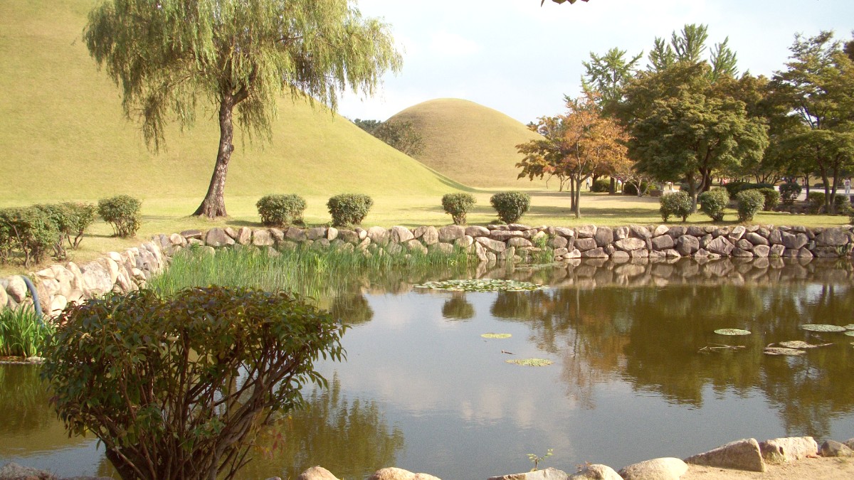
Gyeongju's central historical area is very walkable.
Walk easily between many important sites. Historical park is well-signed.
Good bicycle paths around Bomun Lake area for scenic, safe rides.
Cycling around downtown historical park is popular and safe (flat areas, limited traffic).
Familiarize yourself with KakaoMap or Naver Map for local bus routes. These apps are indispensable for navigation.
Consider a T-money card for all public transport payments. It simplifies travel across the country.
