The Visayas, Philippines
This guide aids your trip planning, allowing for your experience of the best of Cebu.
Cebu Island is approximately 225 kilometers (140 miles) long, narrow, and features a central mountain range. Mactan Island, connected by bridges, hosts the international airport.
Its strategic location offers easy ferry access to neighboring provinces like Bohol and Siquijor.
Cebu province sits within the Central Visayas region of the Philippines, a long, narrow island surrounded by over 150 smaller islands. Cebu Island extends about 225 kilometers (140 miles) north to south. Its narrow width, typically less than 35 kilometers (22 miles) at its widest point, places coastal areas near the island's mountainous spine. This central mountain range, while not towering, provides a lush interior with numerous waterfalls, rivers, and unique landscapes.
The provincial capital, Cebu City, anchors the eastern coast of Cebu Island. It serves as a major gateway and hub, driving commerce, education, and tourism throughout the Visayas. This city's coordinates, roughly 10.3157° N latitude and 123.8854° E longitude, place it firmly in the tropics, influencing its year-round warm climate. Mactan Island, immediately east of Cebu City and connected by bridges, hosts Mactan-Cebu International Airport (CEB), the main aerial entry point for the region. This proximity makes transfers from the airport to city accommodations or Mactan resorts straightforward.
Ranging from tiny specks to larger inhabited islands like Bantayan and Malapascua.
Features white-sand beaches and rich coral reefs.
From mountainous interiors to extensive coastlines.
Waters teem with marine life, world-renowned for diving and snorkeling.
Location allows easy ferry access to neighboring provinces.
The province encompasses a total land area of 4,944 square kilometers (1,909 sq mi). Its waters teem with marine life, making it a world-renowned destination for diving and snorkeling.
Its location offers easy ferry access to neighboring provinces like Bohol, Negros Oriental, and Siquijor, making Cebu an excellent starting point for broader regional exploration.
The province's elongated shape means varied landscapes, from mountainous interiors with waterfalls and rivers to extensive coastlines with numerous smaller islands.
Cebu's geography dictates its climate, activities, and overall appeal as a tropical destination.
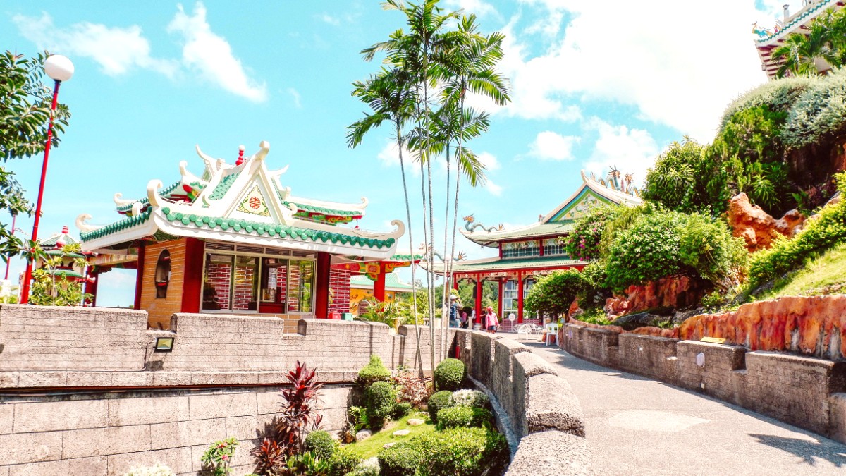
Cebu is a distinguished place in Philippine history as the first Spanish settlement in the archipelago. This historical depth gives the province an unique cultural fabric, woven into its architecture, traditions, and even its cuisine.
The narrative of Cebu’s encounter with the West begins with the arrival of Portuguese explorer Ferdinand Magellan in 1521. This encounter culminated in the Battle of Mactan, where Lapu-Lapu and his warriors successfully resisted Spanish colonization, leading to Magellan's death. This event remains a symbol of Filipino resistance.
In 1565, Miguel López de Legazpi established Villa del Santísimo Nombre de Jesús, the first permanent Spanish colonial settlement.
The Basilica Minore del Santo Niño houses the revered Santo Niño de Cebu, a testament to early Christianization.
Cebu prospered as a trading port during the Galleon Trade era, connecting Asian goods with Spanish America.
A monument on Mactan Island honors Lapu-Lapu, commemorating his defiance against Magellan.
Approx. 5,100,000 people.
4,944 sq km (1,909 sq mi).
Philippine Standard Time (PST), UTC+8.
Experience millions of sardines just offshore, a world-class diving spectacle.
A multi-tiered waterfall known for its bright turquoise waters, popular for canyoneering.
Historical and religious landmarks in Cebu City, marking the arrival of Christianity.
