Palawan, Philippines
Many attractions await visitors in Puerto Princesa. The city forms a base for exploring the famous Underground River, an internationally recognized natural wonder. Beyond this, nearby islands present opportunities for swimming, snorkeling, and sunbathing. The city itself keeps a relaxed pace, with friendly locals and a growing number of dining and entertainment options. It is a place that truly captures the spirit of Palawan. A visit here promises lasting memories, whether you seek adventure, cultural experiences, or simply a quiet escape.
Puerto Princesa maintains a relaxed and welcoming atmosphere, with a focus on nature and eco-tourism. It delivers a more laid-back experience compared to busier tourist hubs.
The city an excellent starting point for exploring the wider wonders of Palawan, making it a popular choice for many travelers.
Puerto Princesa occupies a central position on Palawan, the Philippines’ westernmost island province. Puerto Princesa sits on the island’s eastern coast, facing the Sulu Sea. This location gives the city access to Honda Bay, a popular area for island hopping. To the west, the city extends towards the South China Sea, where visitors find less developed beaches like Nagtabon.
The city’s geography shapes its attractions. Its coastal position means easy access to marine activities and fresh seafood. The nearby mountains and forests frame eco-tourism adventures and unique wildlife encounters. Puerto Princesa functions as the provincial capital of Palawan, making it a hub for transportation and commerce.
The city's airport serves as the principal entry point for most visitors to the island.
Roads connect the city to northern Palawan, including popular destinations like El Nido and Port Barton.
Connections also stretch to the less explored southern regions.
This geographical setup positions Puerto Princesa as a starting point for exploring the broader wonders of Palawan.
Easy access to marine activities and fresh seafood are coastal advantages.
Puerto Princesa functions as the provincial capital of Palawan, making it a hub for transportation and commerce. Its airport serves as the main entry point for most visitors to the island.
Located on Palawan's eastern coast, Puerto Princesa faces the Sulu Sea, granting direct access to various marine activities.
The city extends west towards the South China Sea, where visitors discover less developed beaches like Nagtabon.
The combination of coastal proximity and mountainous backdrop makes Puerto Princesa a distinct destination for both relaxation and adventure.
Puerto Princesa has a history tied closely to both its natural harbor and its strategic location within the Philippines. The Spanish colonizers established the settlement in 1872, naming it after Princess Eulalia of Spain.
Its natural deepwater harbor made it a suitable naval port, supporting the Spanish presence in the region. The city’s early growth was slow, mainly serving as a penal colony and a base for military operations.
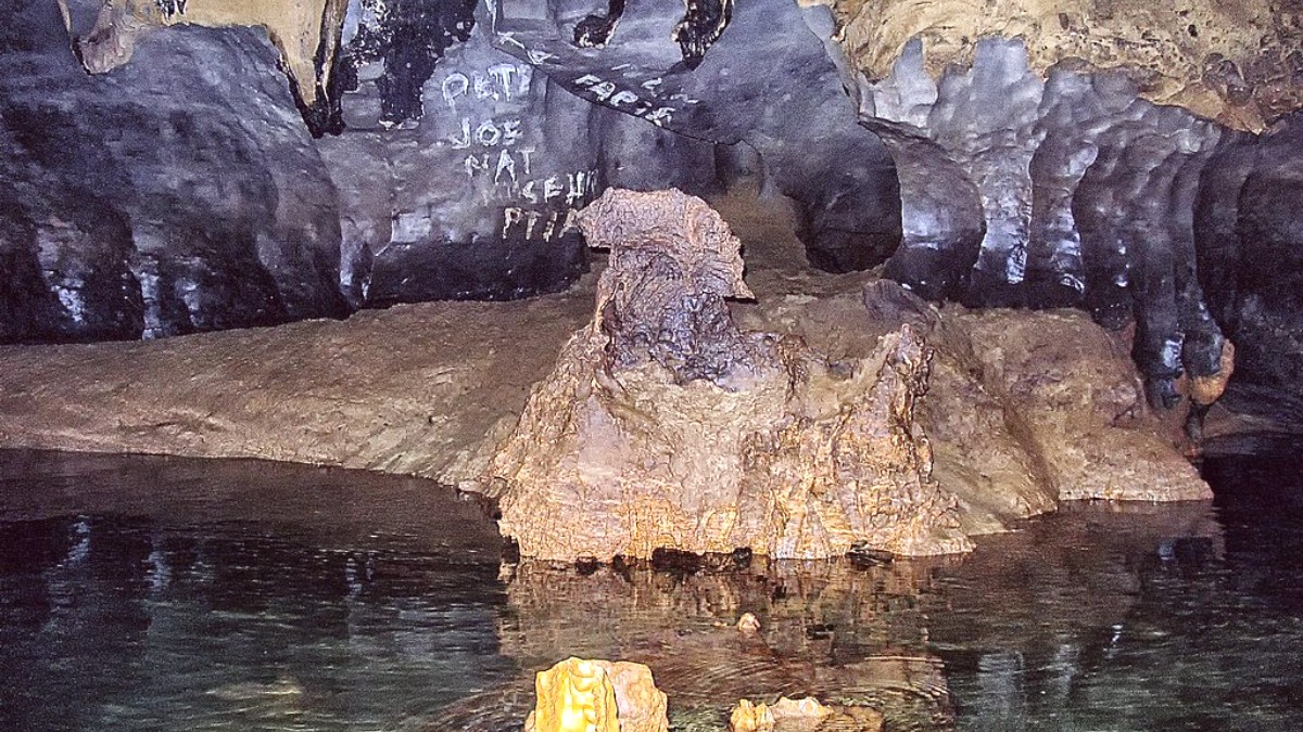
Late 20th century environmental efforts. Designation of the Subterranean River as a National Park in 1992, later UNESCO World Heritage status.
Following WWII, the city grew into a provincial capital and a center for trade and administration.
Spanish colonizers established the settlement in 1872, naming it after Princess Eulalia of Spain.
During World War II, Puerto Princesa became a site of great tragedy. The Japanese Imperial Army occupied the area, converting Plaza Cuartel, an old fort, into a prisoner-of-war camp.
Central-eastern Palawan Island, Philippines
Around 300,000 (city proper and surrounding areas)
Tropical monsoon, with a distinct dry season (November-May) and wet season (June-October).
Tricycles dominate city transport, offering flexible short-distance travel.
Vans connect the city to northern Palawan destinations like El Nido and Port Barton.
The city's airport serves as the main entry point for most visitors to the island.
