Italy
The land formation comprises steep hills and valleys. The coast holds limestone cliffs, shaped over millennia by waves and wind. These cliffs form dramatic backdrops for the small, often secluded beaches below. Access to some beaches uses a boat or a walk down winding paths. The geology creates many hidden coves and sea caves, ideal for exploration by kayak or small boat.
The municipality's varied terrain means elevation changes significantly, from sea level along the marinas to over 500 meters (1,640 feet) in areas like Sant'Agata sui Due Golfi.
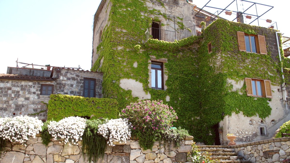
The presence of numerous small hamlets within the municipality, rather than one large town, reflects historical community development tied to specific agricultural or fishing activities. Each hamlet holds its distinct identity and charm, presenting visitors with many localized experiences.
The area of Massa Lubrense holds ancient origins. Evidence of Roman villas, especially at Capo di Massa, points to its popularity as a retreat for Roman nobility. These ruins offer a glimpse into the region's past, when wealthy Romans sought its climate and views.
The strategic coastal position played a role in its development. From the Middle Ages onwards, the construction of numerous watchtowers, known as Saracen towers, became widespread. These towers stood as defensive structures against pirate raids, a constant threat to coastal communities. Many towers exist today, dotting the coastline and serving as reminders of a turbulent past. Some now form parts of private residences or small businesses.
Historically, the community relied on agriculture and fishing. Olive groves delivered olive oil, a Mediterranean diet staple.
Lemon orchards yielded prized Sorrentine lemons, known for their size and fragrant zest.
Fishing villages, like Marina della Lobra, thrived on sea bounty, supplying fresh seafood. This heritage continues today.
The name "Lubrense" comes from "Delubrum," a Roman temple dedicated to Minerva at Punta Campanella.
Punta Campanella served as a natural beacon and control point for maritime traffic, emphasizing its historical strategic value.
The blend of Roman, agricultural, and defensive history makes Massa Lubrense a place with layers of stories waiting for discovery.
Fishing boats still operate from the small harbors. Local markets offer fresh produce. This maintains a strong connection to its agricultural and maritime past.
Many Saracen towers dot the coastline. They serve as historical landmarks. Visitors find them interesting points to observe the strategic past of the region.
Massa Lubrense features dramatic backdrops from its limestone cliffs. Hidden coves and sea caves entice exploration by kayak or small boat, revealing geological wonders.
Massa Lubrense presents a concentrated experience of Southern Italy, a distinct mix of nature and culture.
The compact size allows exploration of many different hamlets and natural areas within a reasonable distance. This suits walking or short drives between points of interest.
Approximately 19.69 square kilometers (7.60 square miles).
Around 14,000 residents (2023 figures), with seasonal fluctuations.
Tourism, agriculture (olives, lemons, wine), and fishing.
The Punta Campanella Marine Protected Area offers a prominent natural feature. This area safeguards a diverse marine ecosystem and presents opportunities for snorkeling, diving, and boat trips. Its terrestrial parts include hiking trails and viewpoints.
