MileHacker Logo
Getting Around

Getting Around

The Midlands, England

Public Transportation

Bus & Train Network

The Peak District lacks a metro or tram system. Public transport mainly relies on buses, complemented by a few train lines. Services connect major towns like Buxton, Bakewell, Matlock, and Ashbourne, along with some smaller villages.

Routes

  • The TransPeak route runs from Derby to Matlock, Bakewell, Buxton, and on to Manchester. Many bus routes offer scenic journeys.
  • The Hope Valley Line connects Sheffield and Manchester, serving villages like Hathersage, Grindleford, Hope, and Edale.
  • The Buxton Line connects Manchester directly to Buxton. The Derwent Valley Line runs from Derby to Matlock.

Ticketing & Accessibility

Bus timetables and route maps are from local tourist information centers, bus operators' websites (e.g., High Peak Buses, Stagecoach), and online journey planners. Major hubs for connecting services include Buxton, Bakewell, Matlock, Sheffield, and Manchester.

Important Information

  • Ticketing: Purchase single, return, and day tickets directly from the bus driver (cash or contactless card). Multi-day or weekly passes offer savings for specific areas. Train tickets are at stations, machines, or online.
  • Hours & Frequency: Public transport services are infrequent, especially in remote rural areas or on Sundays and public holidays. Always check timetables in advance.
  • Accessibility: Most modern buses and trains offer some accessibility. Older vehicles or specific rural routes are less accessible. Check with the operator for specific needs.

Plan Ahead

Plan journeys in advance using online planners like Traveline for seamless navigation.

Download Timetables

Obtain a physical or digital copy of bus timetables for your specific area to avoid confusion.

Weekend Awareness

Be aware services are less frequent on weekends and holidays. Consider alternative transport on these days.

Taxis & Ride-Sharing

Licensed Taxi Information

  • Taxis are available in larger towns like Buxton, Bakewell, and Matlock.
  • Black Cabs (Hackney Carriages): Hail them on the street or find at designated ranks. They use a meter.
  • Private Hire Vehicles (Minicabs): Must be pre-booked through a taxi company. Agree on the fare when you book.
  • Typical Fares and Payment: Fares vary by distance and time. Most accept cash, and many now accept card payments.

Ride-Sharing & Safety

  • Recommended Ride-Sharing Apps: Uber operates in larger surrounding cities like Manchester and Sheffield, but its availability within the Peak District villages is limited or non-existent.
  • Safety Considerations: Always use licensed taxis. For pre-booked minicabs, confirm the car make, model, registration, and driver's name match your booking details before entering.
  • Airport/Station Taxi Arrangements: Taxis are pre-booked for transfers from airports or train stations, or found at designated ranks outside major transport hubs.

Rental Options

Car Rental

You need a valid driving license, usually held for at least one year. An International Driving Permit may be needed for non-UK licenses. A credit card in the main driver's name is for the deposit. Major international companies operate at airports and major cities surrounding the Peak District. Local companies also exist. Drive on the left. Explore options at DiscoverCars.com.

Bicycle Rentals

No widespread bicycle sharing programs. However, numerous bicycle rental shops are available in cycling hubs, including Bakewell, Parsley Hay, Derwent Valley, and Hathersage, often located along popular traffic-free trails.

Motorcycle & Specialty

Motorcycle and scooter rentals are less common within the Peak District itself. You may find specialist rental firms in nearby cities. Tuk-tuks or similar vehicles are not applicable or available for transport in the Peak District.

Walking & Cycling

Pedestrian-Friendly Areas & Routes

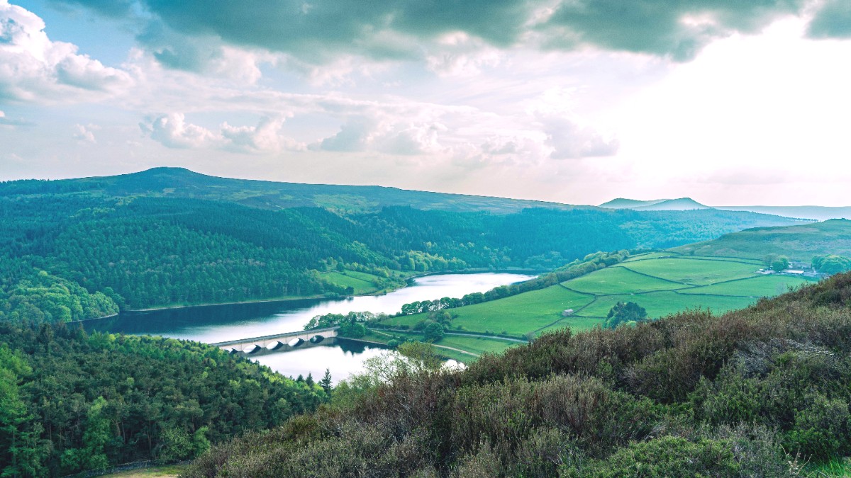
The entire Peak District is a walker's and cyclist's paradise, with thousands of miles of public footpaths, bridleways, and dedicated cycle trails.

Areas

  • Pedestrian-Friendly Towns: Bakewell, Buxton, Castleton, and Matlock Bath offer pleasant walking environments within their town centers.
  • Traffic-Free Trails: The Monsal Trail, Tissington Trail, High Peak Trail, and Sett Valley Trail are popular routes built on disused railway lines, with flat, easy walking and cycling.
  • Walking Tour Options: Numerous self-guided routes are available via maps (e.g., Ordnance Survey Explorer maps) and online resources. Guided walks are offered by local guides and outdoor centers.

Bicycle Infrastructure & Safety

The park boasts an excellent network of off-road cycle trails, many on former railway lines, suitable for all abilities.

Cycling Specifics

  • On-road cycling is challenging on narrow, busy roads, but quieter routes are popular. Helmets are suggested for cycling.
  • No-Go Areas: Avoid private land unless public rights of way are clearly marked. Some areas are restricted for military training; always check local signs.
  • Respect the "Access Land" rules, which permit walking but have restrictions, regarding dogs and livestock.

Specialized Transportation

The Peak District includes a few unique transport experiences beyond standard options.

Unique Experiences

  • Tour Buses: Some local tour operators run guided bus tours of the Peak District, often from nearby cities like Manchester or Sheffield. No specific hop-on-hop-off services within the park itself.
  • Water Transportation: Not applicable for general transport. However, some reservoirs like Ladybower offer boat trips for leisure.
  • Heights of Abraham (Matlock Bath): Features a cable car that ascends to a hilltop park, with cavern tours and panoramic views. This is an unique and popular attraction.

Accessibility Services

The Peak District National Park Authority developed "Miles without Stiles" routes. These trails are specifically for wheelchairs, prams, and those with limited mobility.

Accessible Trails

  • "Miles without Stiles" routes are detailed on the Peak District National Park website.
  • Maps of these accessible routes are available, offering various lengths and terrains.
  • These trails ensure everyone can experience the park's natural beauty.

Driving Laws, Road Conditions, and Parking

Driving Laws

Speed limits are 30 mph in urban areas, 60 mph on single carriageways, and 70 mph on dual carriageways and motorways, unless signs indicate otherwise. Seatbelts are mandatory for all occupants. Drive on the left.

Road Conditions

Roads vary from wider A-roads to very narrow, winding country lanes with blind bends and steep gradients. Be prepared for these conditions, especially in the Dark Peak. Livestock may roam freely on rural roads.

Parking Information

Pay and display car parks are in towns and at popular trailheads. Some areas have limited free parking, notably in smaller villages. Park considerately, without blocking access for local residents or emergency vehicles.

Travel Tip

Always confirm public transport timetables for your specific travel dates, especially for rural services and on weekends. Many routes have less frequent schedules. For car rental, inspect the vehicle thoroughly before departure and understand parking regulations in villages to avoid fines.