Bangladesh
Imagine cruising winding waterways, surrounded by a dense green wall of mangroves. The air carries salt and earth scents. This is the Sundarbans. It is a place of quiet suspense, where the forest holds secrets, and every river bend might show its famous inhabitants. Feel a deep connection to the natural world. This trip gives more than just sightseeing; it gives a chance to experience an ecosystem unlike any other on Earth. The Sundarbans testifies to nature's power and beauty.
The Sundarbans, an UNESCO World Heritage Site, is the largest contiguous mangrove forest on the planet. It stretches across approximately 10,000 square kilometers, with 60% within Bangladesh and the remaining 40% in India. This vast natural wonder sits in southwestern Bangladesh, mainly within the Khulna, Bagerhat, and Satkhira districts.
Its location is strategically significant, positioned at the confluence of the Ganges, Brahmaputra, and Meghna rivers, which form the world’s largest delta. The constant flow of these rivers brings rich sediment, shaping the ever-changing forest landscape.
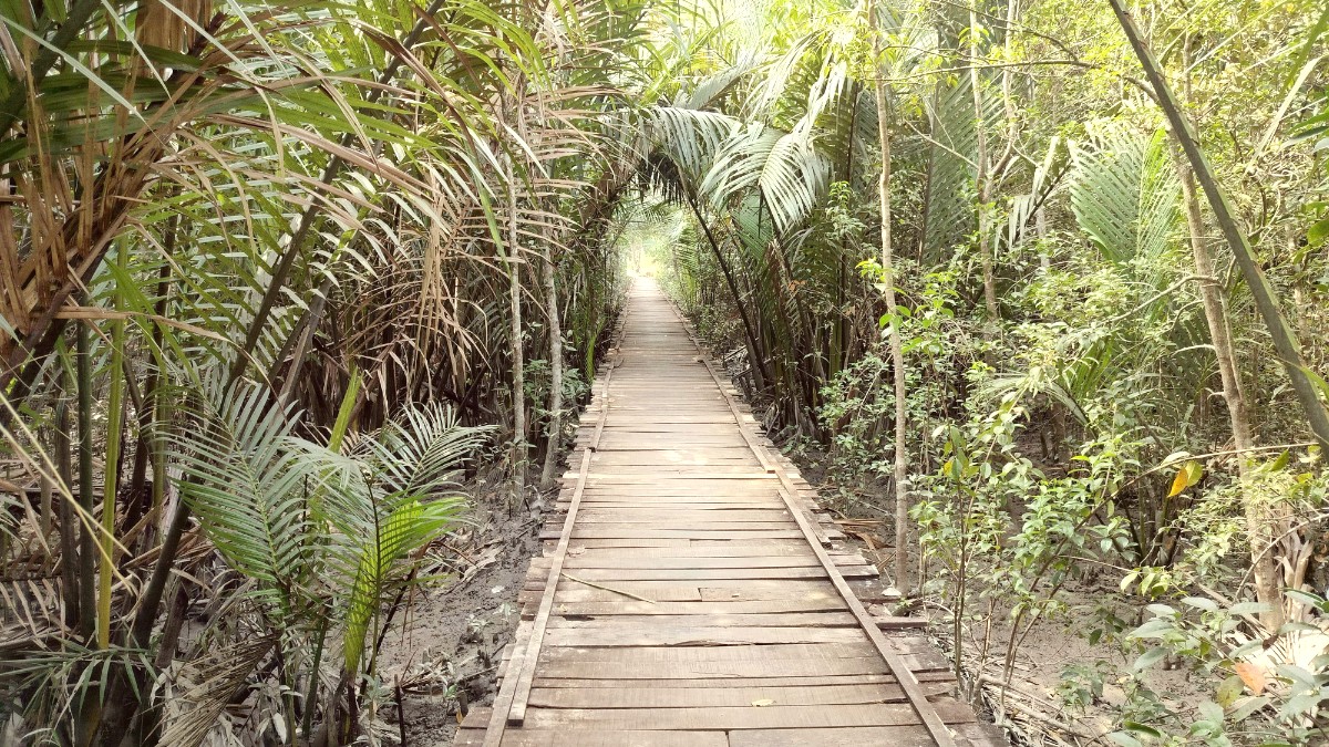
This region stands known for its dense network of tidal waterways, expansive mudflats, and numerous small islands. These islands bear coverage by salt-tolerant mangrove forests, which possess unique root systems for thriving in brackish water and low-oxygen soil. The tangled roots create a complex habitat, giving shelter and breeding grounds for countless species.
The landscape is a dynamic blend of land and water, where boundaries shift with the ebb and flow of tides. When the tide retreats, vast mudflats appear, offering feeding grounds for various birds and small creatures. The elevation of the Sundarbans is generally low, with most areas just above sea level. This low elevation makes the entire region sensitive to powerful tidal changes and sea-level rise.
The Sundarbans forms new land through sediment deposition, while erosion reshapes existing islands. This dynamic process makes the landscape a living, breathing entity.
Freshwater inflow from rivers meets saltwater from the Bay of Bengal, creating a brackish environment where only specialized flora and fauna remain.
The unique aerial roots of the mangroves, called pneumatophores, represent a remarkable adaptation, aiding trees to breathe in waterlogged soil.
The low-lying nature of the forest is a natural buffer, absorbing the force of cyclones and tidal surges from the Bay.
This geographical setup makes for a secluded habitat for its wildlife, making it a true wilderness experience.
You find yourself moving through narrow channels where mangrove roots dip into the water, creating a surreal tunnel. Larger rivers allow open cruising, while smaller dinghies take you deep into creeks, making for quiet observation. This continuous interaction with the Bay of Bengal defines the ecosystem. It shapes the flora and fauna, dictating life cycles and migration patterns.
The constant movement of water, the rich deltaic soil, and the unique mangrove adaptations define this landscape, making it a place of both beauty and challenge. Its sheer scale allows the forest to dissipate the energy of incoming storms.
The low-lying nature also means the forest acts as a natural buffer, absorbing the force of cyclones and tidal surges that originate in the Bay. This protective role makes the Sundarbans not just an ecological wonder but a shield for millions of people living in the delta.
Observe the unique root systems of the mangroves. These aerial roots, called pneumatophores, enable the trees to breathe in the oxygen-poor, waterlogged soil. They are a remarkable adaptation to this challenging environment.
The Sundarbans holds deep historical importance, mainly for its unique ecological system that supports rich biodiversity. Its history as a protected area dates back to the British colonial era. In 1878, the forest was officially declared a Reserved Forest, recognizing its value for timber and other resources. This designation marked an early effort to manage and control resource exploitation.
Later, in 1997, UNESCO recognized the Sundarbans as a World Heritage Site. This international designation affirmed its outstanding universal value, acknowledging its status as a remarkable example of ecological and biological processes. The UNESCO listing brought global attention to the Sundarbans, stressing its role in supporting endangered species.
For centuries, the forest acted as a natural barrier, protecting inland Bangladesh from destructive cyclones and tidal surges from the Bay of Bengal. Its dense mangrove cover absorbs the brunt of these powerful storms.
Beyond its ecological role, the Sundarbans has given livelihood to local communities for generations. Traditional forest dwellers like 'Mawalis' (honey collectors) and fishermen depend on the forest for sustenance.
The history of human interaction with the Sundarbans also features challenges. Conflicts between humans and tigers are a recurring theme. The threat of poaching and illegal logging presents ongoing hurdles.
The lives of these communities are deeply interwoven with the rhythms of the Sundarbans. Their survival is tied to the health of the ecosystem. Its journey from a resource base to a globally recognized conservation area reflects a changing perspective on humanity's relationship with wild spaces.
Approximate land area within Bangladesh, excluding the vast water bodies.
Over 260 bird species fill the air with their calls, making it a birdwatcher's paradise.
Year designated as a World Heritage Site, affirming its outstanding universal value.
Access is mainly through Khulna or Mongla, involving multi-day boat trips into the forest.
Your journey into the Sundarbans takes place on a boat, serving as accommodation, dining, and transport.
Planning your entry point is an early step in organizing your adventure to the Sundarbans.
